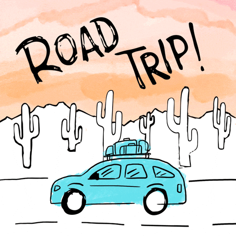
The fourth-grade team embarked on a cross-classroom 'road trip' across the U.S. this week and oh, what an adventure it was!
The 'road trip' served a dual purpose: it provided an opportunity for students to apply their knowledge and understanding of map skills, and also allowed students to comingle with students from other classes while engaging with one another in an interactive community-building experience. In a time when we have access to sophisticated digital tools to navigate the world around us, learning basic map skills is an essential component of developing spatial reasoning skills. Spatial thinking helps us comprehend the phenomena related to spaces and places around us; it supports our ability to visualize and interpret data.
Students were provided a passport to explore and engage in a variety of interactive, self-directed, map-related learning experiences in each of the fourth-grade classrooms, including:
- using a map grid (the entire floor was transformed into a giant map grid) where students followed directions on a map in order to arrive at specific landmarks on the map grid.
- using QR codes with links to Google Maps to experience some of the most unusual tourist attractions in the United States, while identifying the state on a map, and its cardinal direction within the U.S.
- an integrated map experience (rounding numbers) where students used a map scale to measure the distance between two points on a map.
- a fact-finding game related to interesting features about each of the states
This week's guest bloggers reflect on their adventures. Enjoy!
I learned how to calculate distances on a map as if a drone were flying across the United States (stopping to recharge, of course). I really liked working with my partner during the map grid challenge. It was fun trying to figure out how to find each place. - @TheScienceGeek
I learned that Wisconsin is called 'The Badger State'. It's a state known for cheese, too. Another thing I learned is that South Carolina has the largest fire hydrant in the United States. Another fun fact is that something is hurricane and tornado-proof if it is built with 637,300 pounds of steel. I loved going into other fourth-grade classrooms and seeing my friends. - @dragonfire56
I learned that you really need to pay attention to maps and map keys. During one of the experiences, you were supposed to use a map to measure the distance between two state capitals using a ruler or meter stick and convert those units into miles. One inch represented one hundred seventy miles, so you really had to pay attention to the map scale or you would completely miss the fact that you needed to convert the inches to miles. I love the fact that we got to use math with maps. I had a great experience with my partner. We really got to just let go and have fun. - @writingmachine
Something new that I learned was that every map has its own map scale. I used to think that all maps used the same scale. It was also very nice to meet all of the other fourth-grade teachers because I got to find out what their personalities were like. I have to admit, they were all very, very, very nice. - @RV17
I learned how to use Google Maps and discovered a place in Seattle, Washington called The Chewing Gum Wall. It's an actual alley with already chewed gum stuck all over it. Gross. - @Daisy
I learned how to find places on a map and it's actually fun once you get the hang of it. Maps will come in handy once you get older. I also learned that map keys are really important. - @CheerQueen
I learned that you can use a ruler to measure how far Boston is from Green Bay or Austin is from San Diego by using the map scale in the legend. - @HockeyKitty
I really liked the map grid challenge. We had to follow directions and it made me challenge myself. - @PotatoMonitor
I learned that Texas is the biggest state in the U.S.A. and that New Mexico and Oklahoma are two states that border Texas. - @SoccerQueen6
I learned that Florida is known for its oranges and orange juice. I also learned that one of the weirdest tourist attractions in the United States is the Giant Prairie Dog Statue. It's located in South Dakota, which is in the northern region of the United States. - @ChickenNugget
I learned that the Green Bay Packers play in Wisconsin because we had to find thirteen hidden clues in order to solve the name of the state. I also really liked working with my partner because my partner was someone I never thought I'd be friends with and as it turns out, that person is an amazing friend. He is a kind-hearted and hard-working person. - @soccerpro
I learned that maps don't always have a scale that means 1 inch = 100 miles. Some have 1 inch = 170 miles. I also learned that all map grids have coordinates like A7 and J2. I learned how well I can work with kids from other classes. When my partner and I needed help, we asked some kids from another class and they helped us figure out what we needed. This was a great experience. - @Seafoam-da-Seawing


No comments:
Post a Comment